
Maps
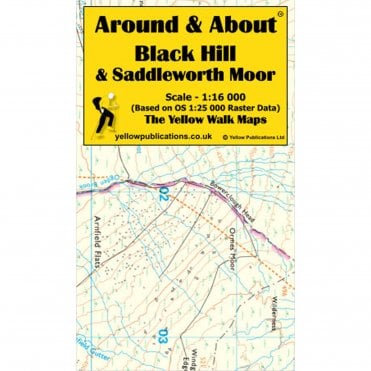
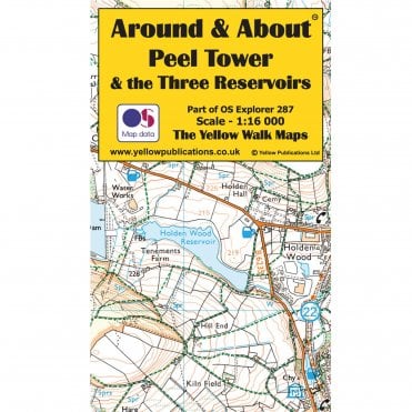
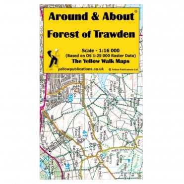
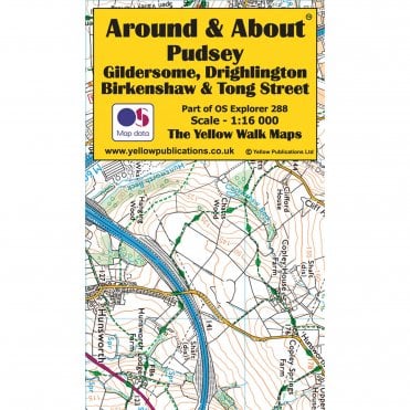
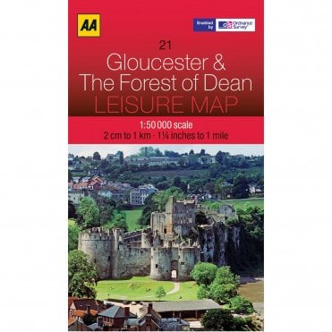
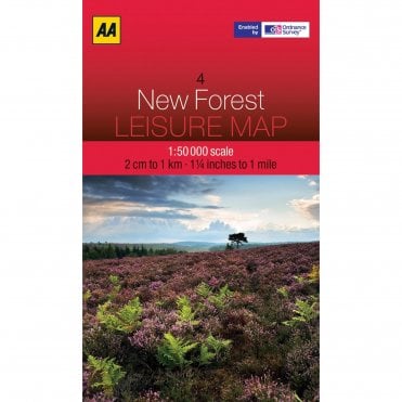
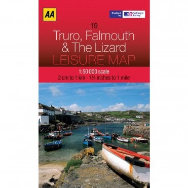
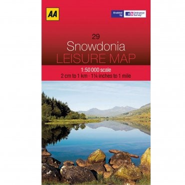

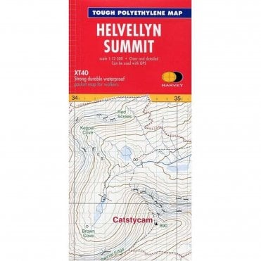
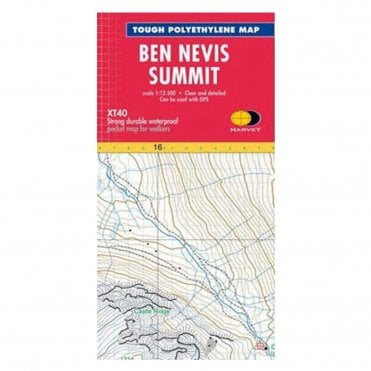
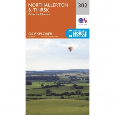
Our walking map selection covers all areas of Great Britain so you can plan your next adventure, whether in your local area or somewhere further afield. Use them to plan your routes, stay on track, and avoid getting lost, whether you’re walking a well-trodden path or exploring the wilderness. Walking maps contain useful information with mappings of roads, footpaths and open access areas and helpful tourist information like car parks, hostels and pub locations. Find the right map for you, whether you’d prefer a tourist guide with information about beaches and pubs or maps to get the most out of your next hiking trip.
Plan a trip with your walking guides
Helping to identify potential hazards such as steep slopes, cliffs, or areas prone to flooding, maps for hiking are particularly useful when planning a route you’ve never ventured on before. Estimate distances, calculate travel times and decide on the best starting and ending points for your hike.
Tour, Explorer and Landranger Ordnance Survey maps
With maps covering popular British walking destinations, including the Lake District and Cornwall, the Ordnance Survey Tour Map series is most suitable for those visiting Britain's most popular holiday destinations. These OS maps are designed with tourists in mind with information about the best beaches, rural pubs, cycle routes and motorways.
The OS Explorer maps are best for walking, running, and hiking and are also useful for off-road cycling, running, horse-riding, climbing, and even kayaking, clearly displaying footpaths, rights of way, and open-access land.
OS Landranger maps are ideal for cycling, longer routes, holidays, and tourist attractions, covering a larger area than Explorer but with less detail. They display roads, tourist features, footpaths, and rights of way.